
En esta noticia
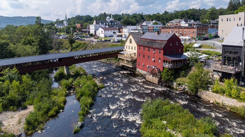
New Hampshire was chosen as the state with the greatest natural beauty in the United States in a ranking compiled by Holafly, which evaluated 50 states in the country based on six geographic and environmental indicators.
With a score of 90.83 out of 100, the New England territory ranked first thanks to its 353 waterfalls, its extensive forests, its mountains, a network of 1,300 lakes and ponds, and a small stretch of coastline on the Atlantic Ocean.


Why New Hampshire is the most beautiful state in the United States
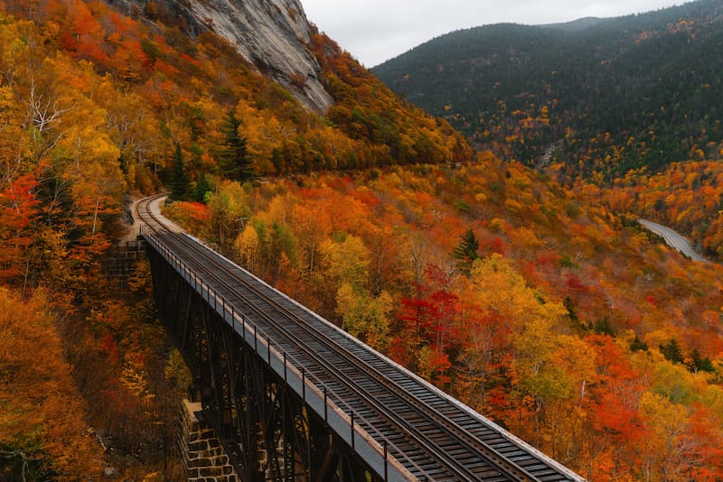
The main factor explaining the result is the proportion of territory covered by forests. According to data collected by the ranking, approximately 83% of New Hampshire’s surface is covered by trees. Added to this are its waterfalls and mountainous terrain.
The result is striking because of New Hampshire’s size, one of the smallest in the country. This shows that a state does not need to be vast to stand out for its natural wealth.
The ranking compared the 50 states using six criteria: mountain elevation, extent of rivers and waterways, forest cover, national parks, volcanoes, and number of waterfalls.
After New Hampshire, the ranking was made up of:
- West Virginia, which came in second with 78.23 points.
- Virginia, which scored 74.50.
- Connecticut took fourth place with 74.48 points.
- Hawaii came in fifth with 72.78.
How many waterfalls, lakes, forests, and coastlines does New Hampshire have
New Hampshire has 353 waterfalls, according to World Waterfall; 1,300 lakes and ponds, according to the NH Department of Economic and Business Affairs; and 83% forest cover. Its natural attractions include rivers, conifer forests, and deciduous trees, as well as mountains that allow visitors to take in representative local landscapes.
The state is also known for its abundance of waterways: around 40 rivers run through its territory, with a total length of about 41,800 miles, according to NH.gov. It also has five major regional rivers that begin in its mountains and hills: the Connecticut, the Pemigewasset, the Merrimack, the Cocheco, and the Salmon Falls.
Another of its most distinctive geographic features is worth noting: its 29-kilometer ocean coastline. According to CountryReports, it is the second shortest of any U.S. state with a coastline. In this way, New Hampshire offers a short stretch of the Atlantic shoreline that contrasts with its extensive forests and mountainous areas.
How small New Hampshire is
New Hampshire is located in the northeastern U.S., in the New England region. It borders Quebec, Canada, to the north; Maine and the Atlantic Ocean to the east; Massachusetts to the south; and Vermont to the west.
Its total area is around 9,304 square miles (24,097 square kilometers), including 9,027 square miles (23,380 square kilometers) of land and 277 square miles (717 square kilometers) of inland water. Its size places it among the smallest states in the country, according to CountryReports.
The state capital is Concord, located along the Merrimack River, while Manchester is its most populous city.
What is the highest mountain
Located in the White Mountains, Mount Washington is the highest point in New Hampshire, at an elevation of approximately 1,917 meters above sea level, according to NH State Parks.
The mountain stands out both for its elevation and its weather conditions: on April 12, 1931, its weather station recorded a wind gust of 231 miles per hour (372 kilometers per hour). For decades, that measurement was recognized as the world record for surface wind speed.