
En esta noticia
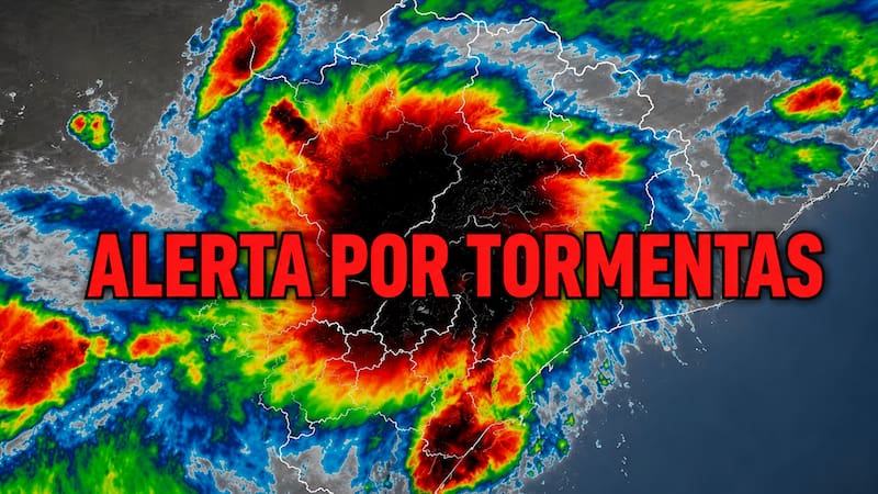
A severe thunderstorm system will move in this Tuesday the 18th and Wednesday the 19th across the center and east of the United States, with heavy rain, hail, and wind gusts that could reach 136 km/h.
Warm, humid air will feed different storm fronts throughout the week. The risk of flash flooding will be higher in areas where the ground is already saturated.
Where will the strongest storms be felt on Tuesday and Wednesday?
On Tuesday, the heart of the storms will be located between Nebraska, Iowa, southern Wisconsin, and northern Michigan, with Omaha and Des Moines at the center of the risk. The most intense winds are expected there, of up to 136 km/h.
On Wednesday, the front will move toward North Dakota, northeastern Colorado, and northwestern Kansas, with hail capable of damaging crops and strong gusts, although no maximum speed has been confirmed for now.
Areas under alert by day
- Tuesday: Nebraska, Iowa, southern Wisconsin, and northern Michigan (including Omaha and Des Moines).
- Wednesday: North Dakota, northeastern Colorado, northwestern Kansas, and sections of the Mississippi Valley (northern Arkansas, southern Missouri, and western Kentucky).

How could this succession of storms affect daily life?
The severe storms could cause flight delays and cancellations at the main airports in the affected areas. In addition, the risk of flash flooding will increase in areas where rain repeatedly falls over the same ground.
By Thursday, the danger will shift toward Tennessee, Kentucky, Virginia, and the Carolinas, with damaging winds and localized flooding. It is recommended to follow local weather alerts and avoid driving through areas with standing water.