En esta noticia
The United States is preparing for 72 hours of severe storms across a wide stretch of the country as a result of the intense heat wave that will remain until the July 4 weekend.
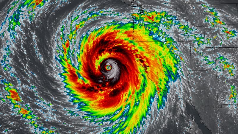
The weather forecasts indicate that this heat dome will continue to favor the development of thunderstorms, capable of bringing heavy rain, wind gusts of up to 80 mph, flash flooding, hail, and even some isolated tornadoes.

Severe storm alert for today, Thursday: which areas are on alert
According to reports from AccuWeather experts, today severe thunderstorms will take place during the afternoon and evening in
- Central Ontario
- Southern Quebec
- Northern New England
Meanwhile, in the west, severe storms could reach from
- Eastern Montana
- The Dakotas
- Northern and eastern Nebraska
- Central and southern Minnesota
- Western Wisconsin
- Iowa

More storms on Friday: the areas on alert, according to experts
In addition to the regions mentioned above, severe weather could spread to
- Wisconsin
- Northern Missouri
- Northern Illinois
- Michigan
- Northern Indiana
In the east, new rounds of heavy downpours are also expected from eastern Kentucky to New England, crossing Maryland.
In the southern part of the country there will also be intense storms with dangerous winds, especially toward the west.
Alert for the July 4 weekend in the United States
Specialists warn that as the heat dome weakens, the risk of storms increases for the central-northern part of the country and for the Northeast.

What are the risks of the storms that will take place in the coming hours
Specialists indicate that the different storms will vary in both size and intensity, but the main risks are
- Damaging wind gusts capable of knocking down trees and causing power outages
- Torrential rain with risk of flash flooding
- Lightning activity
- Large hail
- Brief tornadoes in some cases
It will therefore be essential to stay alert to weather warnings when planning celebrations.