En esta noticia
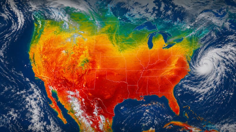
After weeks in which several states saw many consecutive days of rain, meteorologists warn about the arrival of a mass of warm and humid air that will raise temperatures again.
However, it will only last for a while, and storms will return over the weekend with the return of a cold front that could bring strong winds and heavy rain to the same region.
A strong heat wave is approaching: the areas where this mass of warm air will hit
The temperature increase will be felt intensely starting Thursday and will peak on Friday, as between those days the arrival of air from the south to the northwestern United States and the Mid-Atlantic is expected.

The following regions are expected to be affected:
- Philadelphia
- Washington
- Much of New Jersey
- Areas of Pennsylvania
- Southern New York
- Inland regions of New England
Much of the inland Northwest will reach temperatures between 80 and 90 °F, while cities such as New York, Philadelphia, and Washington will record temperatures between 90 and 95 °F.
In addition to the high temperatures, humidity will also increase gradually on Friday, making it feel like the most oppressive and muggy day, particularly in more urban areas.
The weekend storms: How is the abrupt weather change expected?
That same heat and humidity that will cause a heat wave could also become the driving force behind the development of a thunderstorm system.
AccuWeather predicts that a cold front will move in from the west during the weekend, colliding with the mass of warm air over the region. That atmospheric contrast could favor the formation of locally strong storms.
The areas at greatest risk include:
- Ohio and New York on Saturday
- Kentucky and Pennsylvania on Sunday
Heavy rain in short periods of time, possible lightning, strong gusts of wind, and reduced visibility on roads are expected. There is also a risk of flooding in urban areas with inefficient drainage systems.