
En esta noticia
The eastern Pacific is going through one of the most critical moments of the hurricane season.
Meteorological authorities are keeping the evolution of Hurricane Genevieve under watch, a phenomenon that reached exceptional strength and still poses a risk because of its indirect effects.
During the next 48 hours, the cyclone will continue generating torrential rain, hail, intense wind gusts, and strong surf.
Where is Hurricane Genevieve located and what is its path?
The United States National Hurricane Center (NHC) reported that Genevieve was downgraded to Category 4, although it remains one of the most intense cyclones recorded this Pacific season.
The system was located about 503 miles south-southwest of the southern tip of Baja California and was moving northwest at a speed close to 12 mph, with maximum sustained winds of 143 mph.
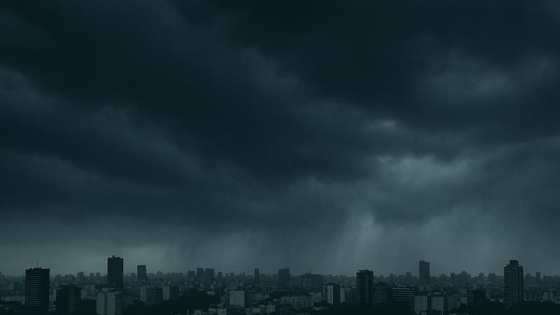
Although the forecast indicates that the hurricane will continue weakening over the next few days, specialists warn that its effects will continue to be felt for at least 48 hours.
According to the NHC, the phenomenon would lose strength until becoming a tropical storm by Friday.
Torrential rain, hail, and surf: the areas under alert
Meteorological authorities explained that Genevieve’s cloud bands will continue reinforcing unsettled weather conditions in different regions of western Mexico.
The main risks include:
- Strong to very heavy rain over the next 48 hours.
- Hail in some areas where intense storms develop.
- Strong wind gusts associated with the cyclone’s outer bands.
- High waves and rip currents capable of putting anyone entering the sea at risk.
The NHC also warned that the storm surges are already affecting sectors of Mexico’s southwest coast and the Baja California Peninsula, where potentially deadly coastal currents could be recorded.

Will Hurricane Genevieve hit land directly?
According to current weather models, Genevieve would not make landfall and will continue moving offshore while losing intensity.
However, authorities emphasize that a cyclone does not need to make direct landfall to generate dangerous conditions.
Its cloud bands can extend hundreds of kilometers and cause heavy rain, flash flooding, high surf, and strong winds in areas far from the center of the system.