En esta noticia
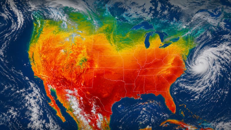
A large part of the southern United States is on alert for the arrival of potentially dangerous torrential rain as a result of a tropical system developing near the Texas coast.
Meteorologists say the rainfall could last for several days and have severe implications -such as dangerous flooding- in different regions of the Gulf Coast.
According to forecasts, this phenomenon could intensify and become Tropical Storm Arthur.
Historic deluge with torrential downpours: what experts say
According to AccuWeather, a mass of rain and thunderstorms affected Texas and northern Mexico over the past few days, consolidating on Tuesday into a rainy tropical storm that could become Arthur later this Wednesday.
The National Hurricane Center issued a warning tropical cyclonethat this system could become a tropical storm.

The alerts cover sections of the Louisiana coast, while other areas in northeastern Texas remain under watch.
All areas at risk from heavy rain and flooding
Experts say the greatest threat from this system will be the torrential rains and potential flash flooding that could occur.
This flooding risk will gradually move from Texas to Louisiana, Mississippi, Alabama, and Georgia by the end of the week.
There is also a warning for strong winds
Forecasts predict tropical-storm-force gusts between 40 mph and 60 mph, along the upper Texas coast and western Louisiana.
The advice is to stay up to date with weather updates in case there are any significant changes.