
En esta noticia
During the last weekend of July, thunderstorms that will hit the Midwest and Northeast of the United States are set to return, bringing damaging winds and heavy rain with the potential to cause flooding.
They will intensify during Friday evening and mark the start of a thunderstorm period from Minnesota to Maryland every one or two days over the next week.

Which areas will the flood of the year with 48 hours of storms hit
Meteorologists from AccuWeather warn that the first area of storms will develop between Friday afternoon and evening over:
- North of South Dakota.
- East of North Dakota.
- North of Minnesota.
The areas of the United States with the highest risk are located near the I-29 and I-94 highway corridors, where strong wind gusts, hail, and very heavy rain could be recorded.
For Saturday, a new round of storms will hit the areas of:
- Montana
- North and South Dakota
- Northeast Wyoming
Wind gusts of up to 150 km/h are expected in certain areas.
For Sunday, the system will move eastward and affect:
- Wisconsin
- Minnesota
- Iowa
- Illinois
- Michigan
- Indiana
- Ohio
- Pennsylvania
- New York
- Maryland

How the weather will continue in the United States next week
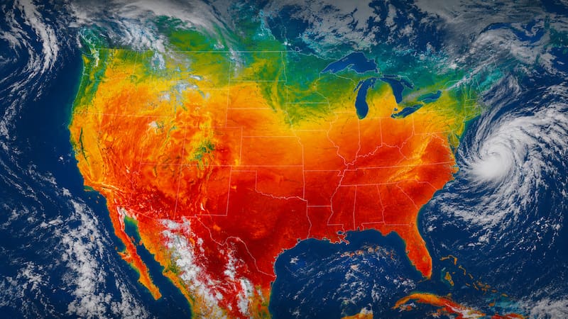
The weather pattern will not change much at the beginning of next week. According to AccuWeather, a heat dome will again settle over the Great Plains and the Midwest, which will favor the formation of new storm systems that will move eastward.
According to a weather report, storm systems will move from Minnesota to Maryland every one or two days, so states such as Wisconsin, Iowa, Illinois, Michigan, Indiana, Ohio, Pennsylvania, New York, and Maryland will continue under risk of heavy rain, flash flooding, wind gusts, and hail.