
En esta noticia
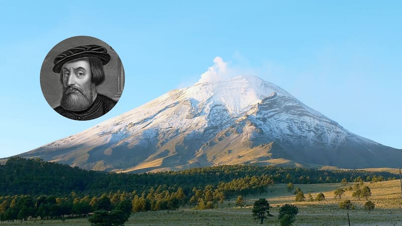
In 1519, Hernán Cortés crossed one of Mexico’s most striking mountain routes to reach Mexico-Tenochtitlán. The journey passed between the Popocatépetl and Iztaccíhuatl volcanoes, at more than 3,600 meters above sea level, along a route that posed a challenge for the expedition.
More than 500 years later, Paso de Cortés retains its historical significance and continues to draw travelers who want to see this high-mountain landscape, located in a region that spans parts of the State of Mexico, Puebla, and Morelos.


What is Paso de Cortés and what are its features?
Paso de Cortés is a mountain pass located between the Popocatépetl and Iztaccíhuatl volcanoes, within Iztaccíhuatl-Popocatépetl National Park. It sits at approximately 3,660 meters above sea level.
According to the National Commission of Natural Protected Areas (CONANP), the park includes territory in the State of Mexico, Puebla, and Morelos. The pass is one of its access points and offers views of the volcanic peaks that define this region of central Mexico.
The strategic reason Hernán Cortés crossed this route in 1519
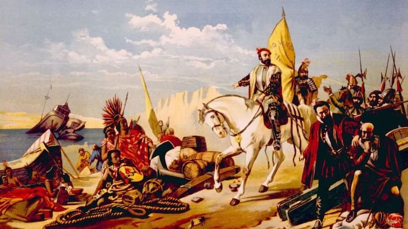
On November 1, 2026, it had been 507 years since Cortés left Cholula with more than 4,000 men. His goal was to advance toward Mexico-Tenochtitlán, so he chose a rough route between the two volcanoes.
According to archaeologist Ismael Arturo Montero García, in his research published by Arqueología Mexicana, the choice had a strategic purpose: to move through rugged terrain, where the Mexica did not expect an incursion of that kind, and to reduce the risk of ambushes.
But the pass was important even before the Spanish arrived. It was a trade and ritual corridor used by pre-Hispanic communities and was known as Cuauhíchcac, meaning “eagle slit,” according to historical references cited by the researcher.
During that expedition, Diego de Ordaz also climbed Popocatépetl, a feat that carried political and symbolic weight for the conquistadors.
Can you visit Paso de Cortés today?
More than five centuries after that expedition, Paso de Cortés remains a destination for tourists, hikers, and outdoor enthusiasts.
CONANP provides official information for planning visits to Iztaccíhuatl-Popocatépetl National Park. One of the main access routes starts in Amecameca, about 23 kilometers from the pass.
There are also ways to get there from Puebla and Morelos, by private vehicle or through public transportation connections.

What risks does the route pose for travelers?
Altitude is one of the main challenges. At more than 3,600 meters above sea level, the lower availability of oxygen can cause discomfort, especially for those not used to high elevations.
Cold temperatures, strong winds, fog, and sudden changes in weather conditions can also occur. That is why visitors should bring appropriate clothing and check access conditions before setting out.
There is also one key restriction: climbing Popocatépetl is prohibited because of its eruptive activity. CONANP has maintained that ban since 1994 and says mountaineers must respect the authorized areas.