En esta noticia
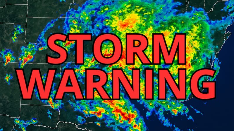
The National Weather Service (NWS) warned that severe thunderstorms, heavy rain and flash flooding are expected to affect parts of the central United States beginning Monday, September 14. The most dangerous conditions could develop during the afternoon and overnight hours, while additional storms and heavy rainfall may continue through the middle of the week.
According to the latest weather information, the combination of abundant moisture, stalled weather systems and already saturated ground could increase the risk of dangerous flooding. Residents in the affected regions should monitor official alerts, avoid flooded roads and prepare for rapidly changing conditions.

Which regions face the greatest storm threat?
The most important risk zone extends across portions of:
- Nebraska
- Kansas
- Iowa
- Minnesota
- Missouri
- Illinois
- Wisconsin
- The Middle Mississippi Valley
The threat is not identical in every state. Some areas could experience intense thunderstorms, damaging wind gusts and hail, while others face a greater risk of prolonged rainfall and flash flooding.
The Omaha area and portions of eastern Nebraska are among the locations being monitored for severe storms. Meanwhile, central and southern Iowa could face a particularly serious flooding threat because storms may repeatedly move across the same areas.
Heavy rain could trigger flash flooding
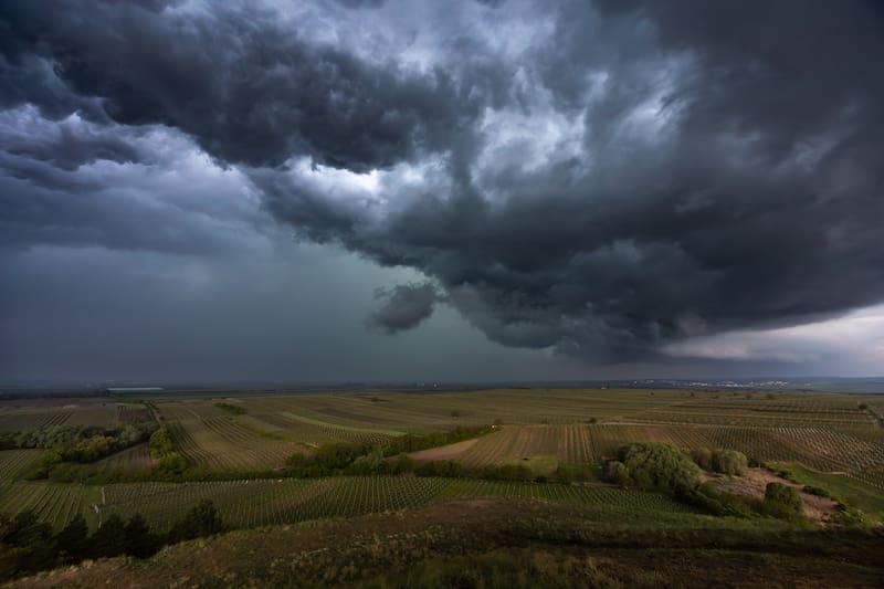
One of the main concerns is the possibility of several rounds of heavy rain over already saturated soil. When rainfall continues to fall in the same region, the ground may be unable to absorb the additional water. Rivers, streams, drainage systems and low-lying roads can then rise quickly.
Forecast discussions cited by weather specialists indicate that some locations could receive several inches of rain over a short period. The most vulnerable areas include:
- Areas that have already received significant rainfall.
- Low-lying neighborhoods.
- Roads near rivers and creeks.
- Urban locations with poor drainage.
- Regions where storms repeatedly follow the same path.
The National Weather Service has emphasized that flash flooding can occur quickly, sometimes before water levels appear dangerous. Drivers should never attempt to cross a road covered by moving water.
Severe thunderstorms could bring damaging winds and hail
In addition to flooding, the storm system could generate strong thunderstorms with damaging winds, large hail and isolated tornadoes in some locations.
The strongest storms may develop along and near a stalled frontal boundary stretching across parts of the Plains and Midwest. This type of setup can allow new storms to form repeatedly in the same general corridor, increasing both the severe weather and flooding risks.
Potential hazards include:
- Damaging wind gusts.
- Large hail.
- Frequent lightning.
- Torrential rainfall.
- Isolated tornadoes.
- Temporary power outages.
- Dangerous driving conditions.
The exact location and intensity of the storms may change as new forecasts and radar data become available. For that reason, residents should check the forecast for their specific city rather than relying only on a statewide prediction.

Why the weather pattern could last several days
Meteorologists are monitoring a combination of high atmospheric moisture and a slow-moving frontal system. A persistent area of high pressure farther south may help prevent the front from moving quickly, allowing storms to continue developing across the same region.
This pattern can create what forecasters call training thunderstorms. The storms move over a similar path one after another, producing rainfall totals that can quickly exceed the capacity of the soil and local drainage systems.
The risk could therefore continue beyond a single storm. Even if the weather briefly improves, additional thunderstorms may cause new flooding in areas that have not yet recovered from earlier rainfall.