
En esta noticia
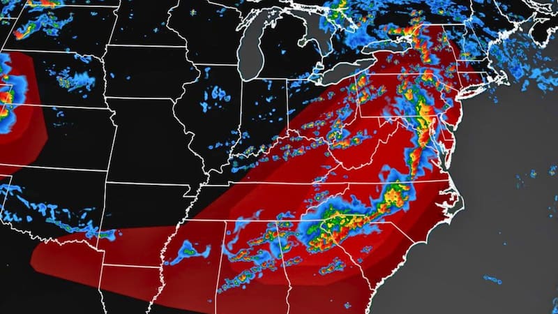
A new round of strong storms and intense rain will take place on Thursday, Friday, and the weekend in the Midwest and the Northeast of the United States.
This weather could cause flash floods, strong wind gusts, hail, and even possible tornadoes in some areas.
There is an alert for severe storms and intense rain this Thursday
According to what AccuWeather experts detailed, during this day the risk of severe storms will be concentrated mainly from central Ohio to Virginia, the Delmarva Peninsula, and New Jersey.
These storms could be accompanied by strong wind gusts and rain capable of causing flash floods in urban areas and sectors with compromised drainage.
Specialists anticipate localized winds of between 60 and 70 mph, while the highest peaks can reach 80 mph.
What are the forecasts for Friday and Saturday
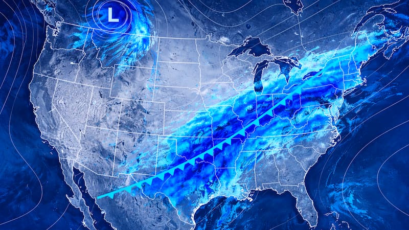
Toward the end of the week, new rounds of torrential rain are expected to continue in sectors of the Midwest and the Northeast.
This system will begin to gradually move south, with dangerous conditions that may then reach the Ohio Valley and the southeastern United States during the weekend.
The advice is always to closely follow weather updates in case there is any important change that should be known.