
En esta noticia
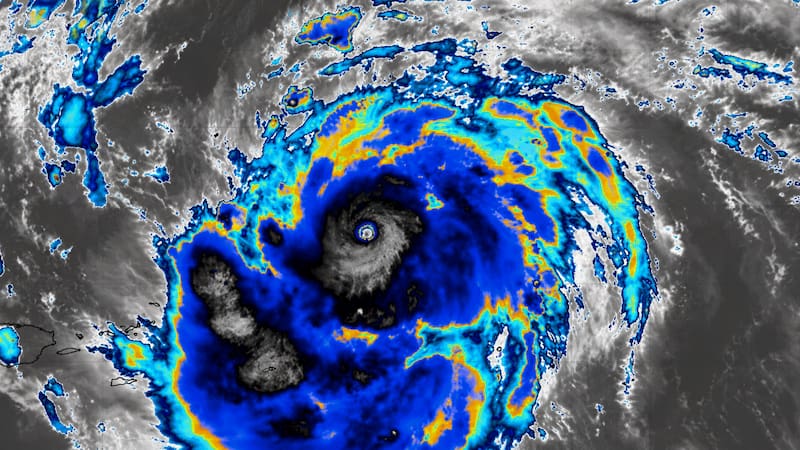
The arrival of a historic deluge has millions of people on alert as a forecast anticipates 48 hours of extreme storms, heavy rain, and destructive winds.
Meteorologists warn that the phenomenon could cause flash floods, falling trees, and traffic disruptions.
In the United States, forecasts indicate that several regions will face persistent rainfall, thunderstorms, and gusts that could reach 58 mph.

Which areas will be affected by the historic deluge?
According to forecasts, the storm will spread across a broad swath stretching from Texas to Wisconsin, where millions of people will remain under alert for heavy rain, severe storms, and strong wind gusts during the next 24 hours.
The highest-risk areas include:
- Texas, where persistent rain and strong storms are expected.
- Oklahoma, with a risk of heavy precipitation and severe winds.
- Kansas, one of the areas with the highest chance of intense storms.
- Nebraska, where heavy rain and high-intensity gusts could be recorded.
- Iowa, under alert for storms and possible flash flooding.
- Wisconsin, at the northern edge of the system, where heavy rain and adverse conditions are also expected.
Authorities warn that, in these regions, there is a risk of flash flooding, falling trees, power outages, and travel disruptions, so they recommend staying alert to weather warnings and avoiding unnecessary travel while the storm develops.
Recommendations for getting through the storm safely
With the arrival of the historic deluge, authorities urge the public to take precautions in advance to reduce the risks associated with heavy rain, severe storms, and strong winds.
- Avoid driving through flooded streets.
- Secure objects that could be blown away by the wind.
- Keep cell phones and electronic devices charged.
- Have flashlights and emergency supplies ready in case of possible power outages.
- Follow only information released by official weather services.
When is the most critical moment expected?
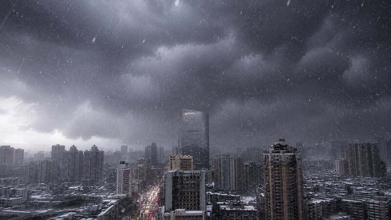
According to forecasts, the most intense conditions will concentrate over the next 24 hours, when the heaviest rain and strongest gusts are expected.
It is recommended to follow forecast updates, since the system’s path and intensity may change as the weather event progresses.