
En esta noticia
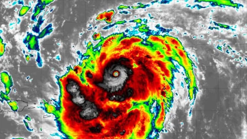
The northeastern United States is preparing for a day of bad weather. The NOAA Storm Prediction Center (SPC) forecasts severe storms for this Wednesday, September 2, 2026, with rain, potentially damaging wind gusts, and possible hail across a broad swath from the lower Great Lakes to the Mid-Atlantic.
Cities such as New York, Philadelphia, Newark, and Baltimore are within the risk area.
What is forecast for Wednesday
For Wednesday afternoon and evening, the SPC anticipates the development of severe storms capable of producing damaging wind gusts and hail. Upper-level air currents favor that the more isolated cells could unleash large hail.
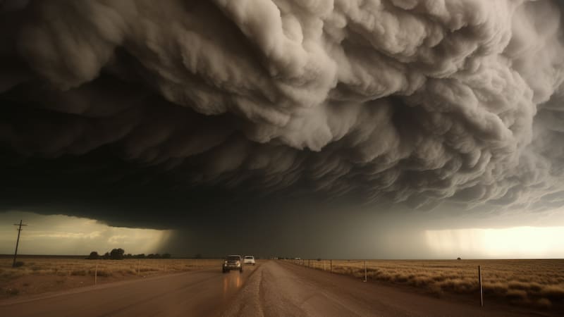
The scenario also leaves open the possibility of more intense phenomena: in eastern New York, Pennsylvania, New Jersey, and the Delmarva Peninsula, some supercells could form, so a brief tornado is not ruled out if the storms remain isolated and organized.
Which areas are under the greatest alert
The risk area covers the corridor running from the Northeast to the Mid-Atlantic. Among the most exposed areas and cities are:
- New York and upstate New York
- Philadelphia and eastern Pennsylvania
- New Jersey (including the Newark area)
- Baltimore and the Delmarva region (Delaware, Maryland, and Virginia)

Recommendations for storm day
Given the possibility of hail and strong gusts, it is advisable to shelter vehicles under cover, secure loose objects in yards and balconies, avoid driving during the most intense part of the storm, and stay away from windows in the event of hail.
It is also recommended to follow updated warnings from the National Weather Service (NWS) and the Storm Prediction Center, which update their forecasts several times a day, and to pay special attention if severe storm or flash flood warnings are issued for the area.