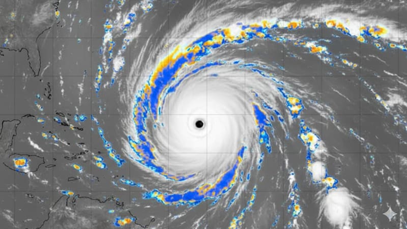

The Weather Prediction Center (WPC) of the United States National Weather Service warned of a risk of heavy rain for Wednesday, September 9, which could lead to sudden flooding in Arizona and other areas of the Southwest.
The agency updated its forecast this Monday and classified the risk as “marginal,” the lowest level on its scale. That category applies to rainfall lasting between one and six hours that could exceed the ground’s absorption capacity in specific areas.
Which areas are under alert for heavy rain?
The risk covers a broad swath stretching from the Sierra Nevada and southeastern California to the southwest of the country, including eastern Arizona and west-central New Mexico. It also extends to the middle Mississippi Valley, the Ohio Valley, and northern New York and Vermont.
According to the WPC, precipitable water values in the atmosphere are between two and three standard deviations above the historical average across much of that area. That technical data indicates exceptionally high atmospheric humidity, which favors the formation of intense, localized rainfall.
Areas under WPC monitoring:
- Sierra Nevada and southeastern California
- Eastern Arizona and west-central New Mexico
- Middle Mississippi Valley and Ohio Valley
- Northern New York and northern Vermont
How could this alert affect residents?
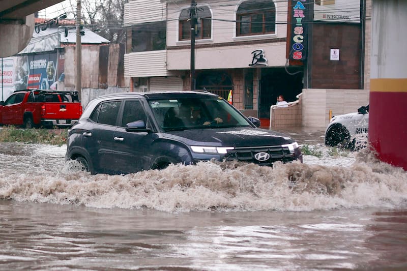
In areas under marginal risk, rain could cause localized flooding, traffic complications, and water accumulation in streets or low-lying areas. The phenomenon is not equivalent to a generalized severe storm alert, but rather a specific likelihood in specific sectors.
The WPC noted that the cold front crossing the central part of the country is moving quickly southward, which limits the risk of prolonged runoff. Even so, it did not rule out isolated episodes of heavy rain due to localized accumulation, so it recommended following local updates from the National Weather Service over the next few hours.