
En esta noticia
A new system of severe storms threatens to extend the damage caused by a derecho in the north-central United States, with heavy rain and wind gusts of up to 128 km/h that have already left more than 600,000 people without power in Illinois, Indiana, and Ohio.
The Ohio governor warned that the risk of flooding remains active in that state, with new rounds of rain expected through Friday in the Ohio River Valley, while Illinois and Indiana face cleanup from the damage already caused by Tuesday’s derecho.
Which areas face the greatest risk from storms and wind gusts?
Illinois and Indiana have recorded the most severe effects so far: a tornado touched down south of Chicago, and gusts exceeded 80 mph at multiple weather stations, with a peak of 99 mph in Gary, Indiana.
In Ohio, the city of Dayton set a historic record for one-day rainfall, while Columbus authorities sent their employees home early as a new front advanced.
The areas with the greatest exposure are:
- Lake, Porter, and Will counties in Illinois and Indiana
- Chicago metropolitan area
- Ohio River Valley, with flood risk through Friday
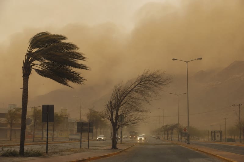
How should you prepare for the next 24 hours of storms and heavy rain?
Power outages could happen again in the already affected areas, and local authorities recommended avoiding travel on flooded roads, where the risk of getting stranded rises significantly during rainfall peaks.
Given the possibility of new wind gusts and thunderstorms, it is advisable to keep mobile devices charged, stay away from trees and power lines, and follow the National Weather Service (NWS) official alerts in real time.
Key recommendations:
- Charge phones and flashlights in case of possible power outages
- Do not cross flooded streets or roads
- Avoid contact with fallen power lines
- Follow official alerts for the area