

En esta noticia
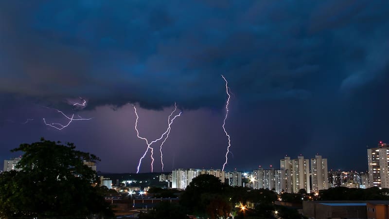
The National Meteorological Service (SMN) forecast very heavy to intense rain for different regions of Mexico over the coming days, due to the interaction of several weather systems. The rainfall could be accompanied by lightning, gusty winds and hail.
The agency said these conditions could also cause puddling, flooding in low-lying areas, landslides and rising levels in rivers and streams. Strong wind gusts could also knock down trees and billboards.

Watch: Where the heaviest rain is expected
For Monday, Nov. 9, the SMN forecasts heavy rain with locally very heavy totals of 50 to 75 millimeters in northeastern Tamaulipas.
Rain of 25 to 50 millimeters is also expected in parts of Nuevo Leon, Veracruz, Puebla, Oaxaca, Chiapas and Tabasco.
The rainfall will be tied mainly to cold front No. 4, which will remain stationary over the eastern part of the country, as well as low-pressure troughs and moisture moving in from the Pacific Ocean, the Gulf of Mexico and the Caribbean Sea.
For Tuesday, Nov. 10, the forecast calls for heavy rain in Tamaulipas and Veracruz. The SMN expects the rain to continue Wednesday and Thursday in different regions of the country.
Which states will see the heaviest rain
The SMN is maintaining a forecast for significant rain toward the end of the week:
- Wednesday, Nov. 11: 50 to 75 mm of rain in Tamaulipas, San Luis Potosi, Veracruz, Puebla, Chiapas, Tabasco and Campeche.
- Thursday, Nov. 12: very heavy to intense rain, with 75 to 150 mm in northern Veracruz.
- Thursday, Nov. 12: 50 to 75 mm of rain in parts of Tamaulipas, San Luis Potosi, Puebla, Chiapas, Yucatan and Quintana Roo.
- Thursday, Nov. 12: 25 to 50 mm of rain in parts of Guanajuato, Queretaro, Hidalgo, Oaxaca, Tabasco and Campeche.
The SMN also forecasts wind gusts and below-freezing temperatures in mountainous areas
In addition to the rain, the forecast calls for wind gusts of up to 60 kilometers per hour in different regions of the country. Gusts of 40 to 60 km/h will continue in the Isthmus and Gulf of Tehuantepec and will spread to Tamaulipas and Veracruz on Thursday. Other states are expected to see gusts between 30 and 50 km/h.
As for temperatures, the SMN forecasts lows of -5 to 0 C during the early morning hours in mountainous areas of Chihuahua and Durango. Starting early Thursday, those readings are also expected in mountainous areas of Baja California.
The agency said the cold air mass associated with front No. 4 will change its thermal characteristics and stop affecting the country on Tuesday.
At the same time, some states in the west, south and southeast will see highs of 35 to 40 C, including Sonora, Sinaloa, Nayarit, Jalisco, Colima, Michoacan, Guerrero, Oaxaca and Chiapas.