En esta noticia
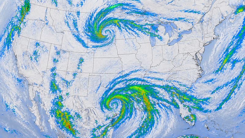
The National Weather Service (NWS) anticipated storms and heavy rain over Florida for this Tuesday, September 8, with the risk of flash flooding concentrated along the state’s east coast. The federal agency attributed the episode to a cold front stalled over the state territory.
The Weather Prediction Center (WPC) explained in its short-term analysis on Monday the 7th that the frontal boundary will lose momentum before reaching the Gulf Coast. The stagnation will leave scattered storms over the Southeast, including Florida, over the next few days.

What does the storm forecast anticipate for Florida this Tuesday?
A cold high-pressure system is moving toward the eastern part of the country and colliding with the hot air mass settled over the central part of the territory. That contrast slows the front over the peninsula and sustains storm formation day after day.
The NWS placed the greatest risk of flash flooding along the state’s east coast, where heavy rain can build up in a short time. This is a localized risk, not a widespread event across the entire state territory.
The main hazards expected for the day are:
- Urban flooding in areas with poor drainage
- Rapid water accumulation on streets and underpasses
- Frequent lightning during storms
- Wind gusts in the most intense cells

How does this situation affect things, and where is the system headed?
The immediate impact falls on vehicle traffic and low-lying areas of coastal metropolitan zones. Authorities recommend avoiding crossing flooded streets, since the actual depth of the water is difficult to estimate from the vehicle.
By Wednesday the 9th and Thursday the 10th, the WPC shifts the marginal risk of excessive rain to the Sierra Nevada and southeastern California, the Southwest, the middle Mississippi Valley toward the Ohio Valley, and northern New York toward Vermont. The fast movement of the front limits the potential for widespread runoff in those regions.