En esta noticia
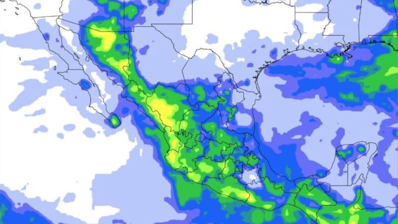
A cold front is moving toward Texas this week, bringing the possibility of rain and thunderstorms to parts of the state while temperatures remain unusually high for September.
The National Weather Service office in Amarillo is closely monitoring the front as it approaches the Texas Panhandle. Forecast models indicate that the position where the front eventually stalls could determine which areas receive the greatest amount of rain and storm activity.

Which areas of Texas could see rain?
The Texas Panhandle is expected to be the main area affected by the weather system.
According to the latest forecast, much of the northern Panhandle near the Oklahoma border, along with southeastern portions of the region, could have a 20% to 40% chance of rain from Wednesday afternoon into Wednesday night.
The southern Panhandle faces a higher probability, with precipitation chances reaching 40% to 60%. Meanwhile, the National Weather Service expects the central and north-central portions of the Panhandle to have a medium to high likelihood of receiving at least some rain.
The exact location of the heaviest activity will depend on where the cold front stalls. Meteorologists are watching that boundary closely because it could determine where thunderstorms develop and how much rainfall individual communities receive.
Severe storms, hail and strong winds are possible
Rain is not the only concern associated with the approaching front.
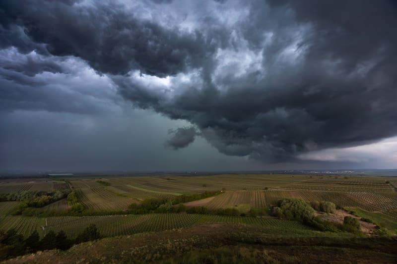
Forecasters warn that some thunderstorms could become severe, with penny-sized hail, lightning, heavy rainfall and strong wind gusts of up to 60 mph possible in parts of the Panhandle.
The National Weather Service has placed portions of the northeastern Panhandle under a level 1 out of 5 risk for severe thunderstorms. That is the lowest category on the scale, but isolated severe weather remains possible.
Meteorologists also caution that storm development could remain relatively disorganized because wind shear is expected to be weak. As a result, the main threats are localized heavy rain, lightning and strong to severe wind gusts rather than a widespread severe-weather outbreak.
The cold front will not immediately end the Texas heat
Despite its arrival, the system is not expected to bring a dramatic statewide temperature change.
The Texas Panhandle is forecast to remain warmer than normal during the next several days, with some locations potentially approaching or breaking daily temperature records. Above-average temperatures could continue into mid-September.
Farther south, the heat is expected to remain particularly persistent. San Antonio and other parts of South Texas could continue seeing temperatures in the upper 90s, meaning the approaching front should not be interpreted as the arrival of sustained fall weather across the entire state.

Another round of storms could develop Thursday
The weather situation could continue into Thursday, when forecasters are watching for the possibility of a more organized storm threat.
However, confidence remains limited because the evolution of Thursday’s weather will depend partly on what happens with Wednesday’s storms and where their outflow boundaries settle.
For residents in the Texas Panhandle, meteorologists recommend monitoring updated forecasts as the front approaches, particularly because the precise location of the strongest storms and heaviest rainfall could change.
For now, the main areas to watch are the central and north-central Panhandle, the northern region near the Oklahoma border, the southeast Panhandle and the southern Panhandle, where rain chances are expected to be highest.